Walk 4 - The Matlocks (4.75 miles)
This is a favourite walk which provides some splendid views of Matlock and Matlock Bath with plenty of opportunities for refreshment stops. There are a couple of short climbs and some very steep drops so take care with children and dogs. The walk starts in Matlock Bath where parking can usually be found at Temple Road Car Park just below Gulliver's Kingdom. Alternatively the Transpeak bus service stops at the start of the walk
From the Temple Road Car Park in Matlock Bath head across the lane and down the steep path with rail to the A6. Go past the Fishpond Pub and cross the A6 at the crossing to turn right heading back towards Belper, past The Pavilion and into the Derwent Gardens. Take the footbridge over the river (signposted Lovers Walks) and then turn right to walk towards The Cascades.
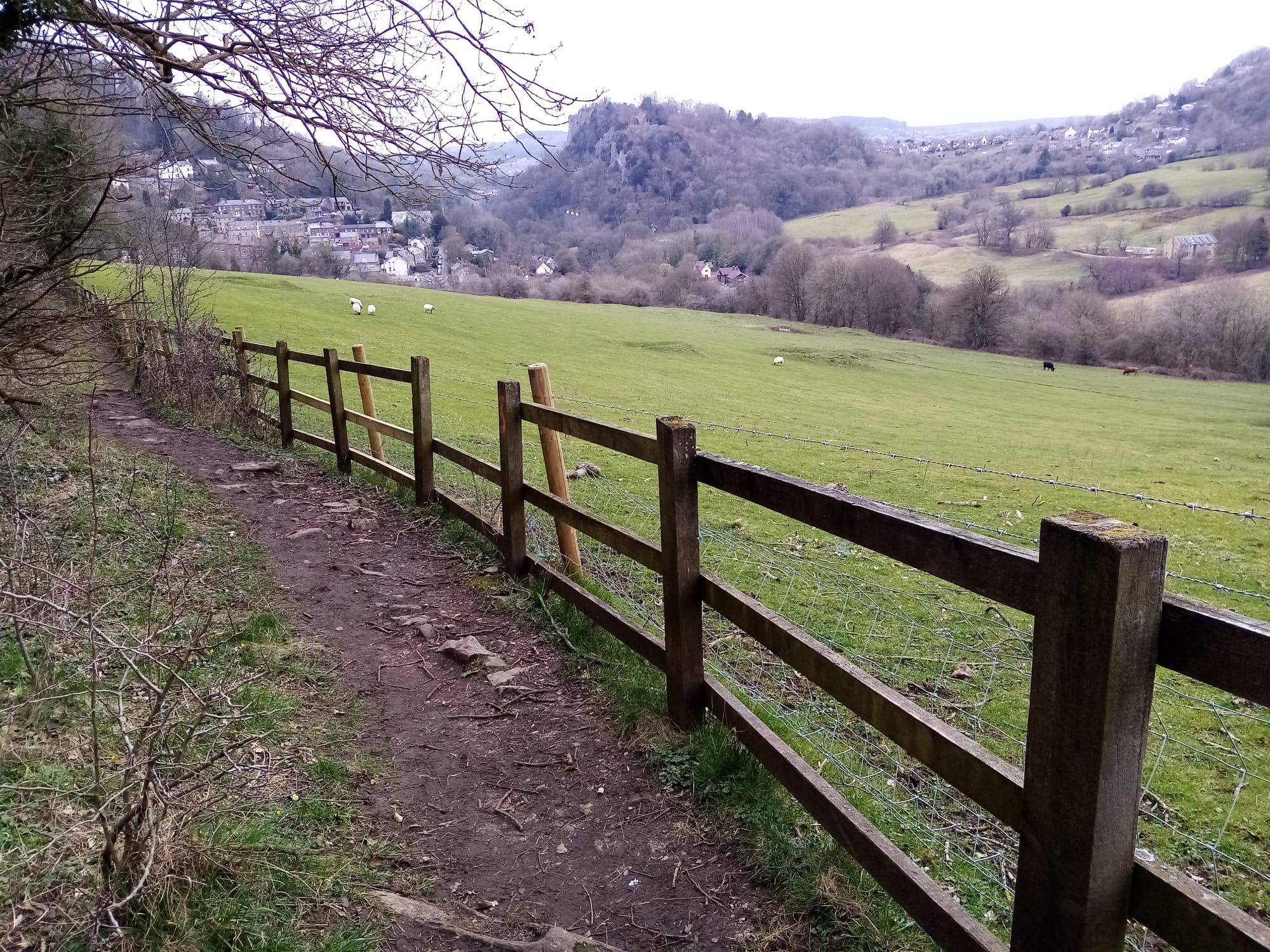
Before The Cascades and the end of the path look for a footpath on the left which rises steeply uphill. Follow the main path as it zigzags uphill with steps to the foot of and then through cliffs. You emerge at the top to a wooden fence and views over fields. Continue following the path as it turns left and follows the cliff edge with a number of views of Matlock Bath. You can also look across ahead and to the right to see High Tor which we will climb shortly!
Keeping the fence and fields on your right begin to descend ignoring any paths on your left. You will emerge in Station Yard Car Park. Turn left and cross the car park heading for the Whistlestop Cafe / Old Railway Station. Continue past the cafe and turn right under the railway heading for the Cable Car base station to The Heights of Abraham.
Just past the cable car go through a gate to High Tor grounds and follow the waymarks for Derwent Valley Walk. The best route is on the path rather than the road but either way you will end up at a picnic area and then a plateau next to a telephone mast. Climb the last few metres to a viewpoint with on old metal post being very careful of the drop.
The imposing High Tor, which dominates Matlock Dale below, is reputed to be the last place in England where eagles nested. Geological activity left a variety of minerals and ores which have been mined in the Matlock Valley for centuries, lead being the most dominant it having been mined in the area since Roman times. High Tor contains numerous lead mines with the most obvious being near the summit now known as Fern and Roman Caves. Workings are recorded here from the 16th to the 18th centuries. A growing number of visitors came to Matlock Bath during the 18th and early 19th centuries to sample the thermal waters, as first the French Revolution and then the Napoleonic Wars raged in Europe. Then in 1849 the railway arrived, bringing day trippers. This growing visitor pressure prompted the High Tor Grounds to be created and opened to the public by their owner Peter Arkwright (grandson of Sir Richard Arkwright, founder of the mills at nearby Cromford). New walks and a carriage ride to the summit were created, along with the cliff ledge path 'Giddy Edge'. The two lead mines - Fern and Roman 'Caves' - were opened as official visitor attractions.
(If you hear voices this may be people on 'The Giddy Edge' which passes just below the view point - if you want to try this then with the drop behind you head slightly downhill and to the left to find the entrance)
Once you have finished admiring the view then head downhill to the left with the fence on your right, past an old stone shelter with a bench and then follow the broad path downhill with Matlock in the distance. The path descends through a gate to a lane where you turn left to once again go under the railway line and then turn right through the park to follow the river.
Go past the water works on your left and then turn left over a footbridge to emerge onto a road where you turn left and after a few metres enter Hall Leys Park.
The heady delights of Matlock now await you. When you have had your fill continue through the park and take the road bridge over the river. Cross the A6 at the crossing and then head uphill up Snitterton Road past the old Bank building. After 25 metres look for a sign pointing left for 'The Limestone Way' which starts here. Follow this lane and then continue straight on following a path with heads uphill through a field. You will see the path heads straight on to a wall but halfway up the hill look for a finger post heading to the left (Derwent Valley Walk) and follow this through a number of fields until it comes to a gate in a field corner.
Through the gate turn left and follow this path as if twists and turns and broadens with eventually a wall on the left. The path descends to a lane where you turn right uphill past the disused church of St John The Baptist, Matlock Dale. As you come to some drives for houses look for a tarmac road with a finger post for Public Footpath No 69. Follow this until you come to a gate across the road and take the path just before on the left.
This path heads through woods, under the cable cars and over a wooden bridge to descend to a lane above Matlock Bath. Turn right and follow this lane for a short while until you come to a footpath which steeply descends through houses (signposted 'Public Footpath to Orchard Road').
When the path emerges onto Orchard Road you will see a sign for Hawthorne Cottage ahead. Here you have a choice - you can continue downhill to emerge into Matlock Bath for chips and ice cream or you can turn right and follow the road back to the car park.